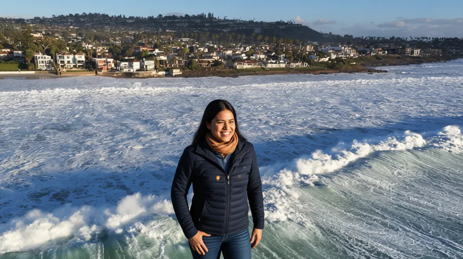
Record Marine Heat Wave Off California Coast Fueled by Super El Niño
A super El Niño is driving a record-breaking marine heat wave off the California coast, with ocean temperatures reaching unprecedented levels hundreds of meters below the surface. This extreme warming is intensifying coastal flooding, raising sea levels through thermal expansion, and fueling severe storms and rare weather phenomena as the state enters its rainy season.
A super El Niño is driving a record-breaking marine heat wave off the California coast, with ocean temperatures reaching unprecedented levels hundreds of meters below the surface. This extreme warming is intensifying coastal flooding, raising sea levels through thermal expansion, and fueling severe storms and rare weather phenomena as the state enters its rainy season.
For two decades, Daniel Rudnick has collected data from beneath the ocean’s surface using small underwater drones known as gliders. These devices dive thousands of feet deep and crawl back up, measuring salinity, temperature, and other metrics. What he is observing now, however, defies his extensive experience. The marine heat wave affecting California waters is so intense that standard color-coded charts showing temperature anomalies had to be recalibrated; the red shades used to indicate hotter water were no longer intense enough to accurately reflect the extreme conditions.
Steric height, a measure of sea level rise driven by thermal expansion rather than melting ice, has reached levels Rudnick has never seen in his career. "I looked back at our data to make sure that I'm not making a mistake and it's correct—and it is," said Rudnick, an oceanographer at the Scripps Institution of Oceanography at UC San Diego.
The depth of this anomaly is significant. In late October, a monitoring station in Monterey Bay recorded water temperatures of 64.72 degrees Fahrenheit (18.18 degrees Celsius) at a depth of 200 feet, breaking previous records. Data from San Diego showed even higher anomalies, with water at the same depth reaching 77 degrees Fahrenheit—21.3 degrees above the normal average.
Rudnick describes El Niño as "the biggest source of climate variability" off the California coast. The climate phenomenon, characterized by hotter-than-normal water in the eastern tropical Pacific, influences weather and ocean conditions globally. While his gliders have captured temperature anomalies during previous events, including the intense heat of the 2015–2016 super El Niño, this year’s event is shaping up to be the strongest on record.
"It’s fair to say it’s off the charts," Rudnick said. He noted that the current crisis results from a convergence of factors. "The heat we get from El Niño stacking on top of the heat we already have, that’s the thing that makes this most unusual," he explained.
This year’s El Niño is adding significant heat to an ocean that has been warming for years. Since January 2025, coastal California waters have experienced a massive heat wave, with temperatures in some areas reaching 8 degrees Fahrenheit above average in August. This is compounded by long-term human-caused climate change; oceans off Southern California have warmed by 1.8 degrees Fahrenheit since the 1970s alone.
Daniel Swain, a climate scientist at the University of California Agriculture and Natural Resources, emphasized the rarity of these conditions. "This is a bunch of things that have had to come together to make this even physically possible," Swain said. "And even then, it's kind of astonishing."
Part of the mechanism driving these higher temperatures and sea levels involves Kelvin waves. These slow, large-scale waves transport warm water from west to east across the Pacific Ocean. They push down the ocean’s thermocline, the transition layer where temperatures begin to drop rapidly into the deep ocean.
Swain clarified that this is not a case of a new heat source appearing in the deep ocean. "It isn't like there's some heater in the deep ocean suddenly," he said. "It's just that we've turned off the air conditioner and we're allowing the surface waters to warm." Kelvin waves also contribute to sea level rise by preventing water from moving physically offshore.
The impacts of these higher sea levels are already being felt along the coast. Californians have endured weeks of intense coastal flooding and large waves. San Francisco and surrounding areas were under a coastal flood advisory through Friday morning, with waves reaching heights over 30 feet (9 meters). These massive waves were powerful enough to set off seismographs. Another storm was forecast to hit the Bay Area over the weekend.
The warmer water is also contributing to heavier rainfall, with locations from San Francisco to Burbank setting hourly rainfall records in recent days. Physically, warmer water takes up more space than cooler water, directly pushing up sea levels through thermal expansion.
Beyond the storms, the warm water is driving weather patterns that are even more unprecedented. On Tuesday, two rare twin waterspouts formed over San Francisco Bay. This occurred as cold storm air moved over the unusually warm waters. Such phenomena are typically observed off the coast of Florida or in the Mediterranean, not in the usually frigid Pacific waters near California.
Swain highlighted the stark contrast between the air and water temperatures. "The air temperatures are somewhat winter-like right now, but the water ain't," he said. "It’s an indicator that things aren't as they usually are in this part of the world."
As the rainy season progresses, the combination of record ocean heat, elevated sea levels, and powerful storm systems continues to challenge coastal infrastructure and ecosystems. The data collected by researchers like Rudnick provides critical evidence of how climate variability and long-term warming are interacting to create conditions that exceed historical precedents.
J.Chacko--DT